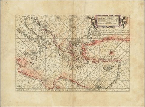
Chart of the Eastern Mediterranean
Johannes van Loon, c. 1661
A Dutch sea chart of the easternmost Mediterranean, published by Johannes van Loon in the 1660s. It marks the capes, harbours, rivers, bays and anchorages of the coast.
Johannes van Loon, c. 1661
A Dutch sea chart of the easternmost Mediterranean, published by Johannes van Loon in the 1660s. It marks the capes, harbours, rivers, bays and anchorages of the coast.
 FrameAnyPhoto.com
A wider world, at home.
Step 1
Start with the space you want to fill: over the sofa, the bed, or down a long hallway.
Step 2
Go big with one statement piece, up to 36″ × 36″…
Step 2
Frames side by side, drawn to scale on a 12 ft wall, so you see how much of it they fill.
Step 3
Fill each frame from the curated catalog or your own photos. Every piece is printed and framed to order.
Try it on your wall